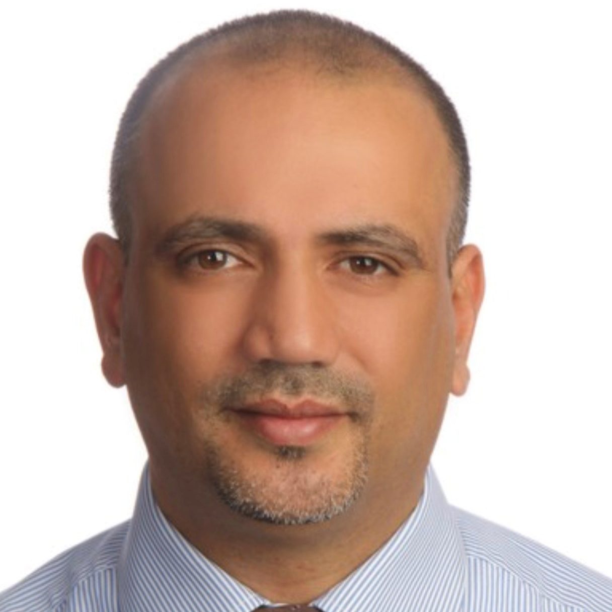
PROF. RAMI AL-RUZOUQ
PROFESSOR OF GEOMATICS ENGINEERING UNIVERSITY OF SHARJAH DEPARTMENT OF CIVIL AND ENVIRONMENTAL ENGINEERING AT THE COORDINATOR OF THE MASTER PROGRAM IN GIS AND REMOTE SENSING
- Group:GIS and Remote Sensing for Environmental Studies/ Technologies and Challenges
PROF. RAMI AL-RUZOUQ
PROFESSOR OF GEOMATICS ENGINEERING UNIVERSITY OF SHARJAH DEPARTMENT OF CIVIL AND ENVIRONMENTAL ENGINEERING AT THE COORDINATOR OF THE MASTER PROGRAM IN GIS AND REMOTE SENSING
Education • Ph.D.: geomatics engineering from the University of Calgary in Canada, (2004). • M.Sc.: Geodetic science from Ohio State University in the US, (2002). • M.Sc.: Civil Engineering from Jordan University of Science and Technology, (1996). • B.Sc.: Civil Engineering from the Jordan University of Science and Technology, (1993). Research • Environmental Remote Sensing/GIS Applications; UAV/ Digital Photogrammetry; Land-Use Land-Cover Classification; Spatial Statistics and Analysis; Satellite Image Processing and Change Detection; Urbanization and Smart Cities. • Published more than 75 scientific journals and conference publications. • Citation more than 1000 with h-index=17. (Google Scholar). Teaching • Twenty years of teaching experience at undergraduate and postgraduate levels. Teaching and developing several graduate and undergraduate courses in Geomatics Engineering • Chair of accreditation committee (Commission for Academic Accreditation, CAA) of the M.Sc. in GIS and Remote Sensing Program (2016-2020). contribute to the preparation of ABET application for the Civil Engineering program. Professional • Academic and administrative positions in the US, Canada, Jordan, and the UAE. Member of many local and international scientific societies, including the American Society of Photogrammetry and Remote Sensing (ASPRS), Mapping Sciences Institute in Australia, Jordan Engineers Association, and the Institution of Geospatial and Remote Sensing Malaysia. Email: [email protected] [email protected]
