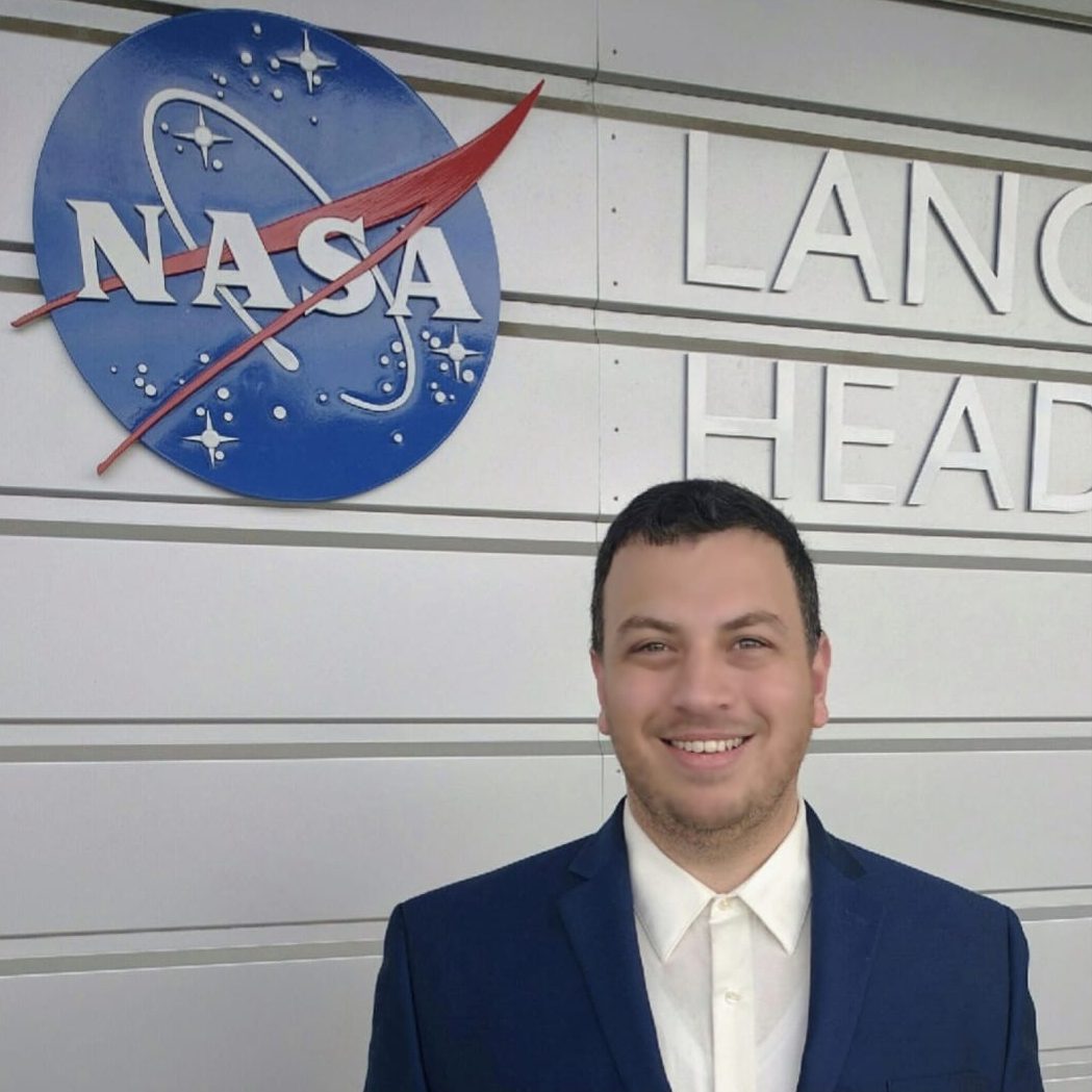
DR. AHMAD ABURIZAIZA
SENIOR GIS SOLUTIONS ENGINEER @ JLL
- Group:The Significance of Programming for Geospatial Professionals with Real Life Examples
DR. AHMAD ABURIZAIZA
SENIOR GIS SOLUTIONS ENGINEER @ JLL
Ahmad is currently a senior GIS Regional Lead & Solutions Engineer at JLL. He holds three US degrees: a B.S. in Computer Science, a masters in Geographic Information Science, and a PhD in Geoinformation Sciences. He has a profound expertise in geospatial technologies, programming, data security, data engineering, data visualization, academic teaching, and corporate training. He is continuously learning new skills related to cloud computing, data science, and business intelligence. His professional experience varies between academia, government, and private sectors including NASA and Mapbox. Throughout his profession, he developed several geospatial applications by leveraging open-source libraries, spatial databases, cloud services, and generative AI models. One of the greatest achievements was the development of version 2.0 for a NASA’s in-house application named VOCAL, using Python to analyze aerosol data collected by NASA’s CALIPSO satellite. In other roles, he built geospatial data pipelines programmatically to serve complicated ETL processes. Furthermore, he created numerous APIs serving geospatial data for the US government.
