
Advances in Remote Sensing and Artificial Intelligence in Marine and Coastal Studies
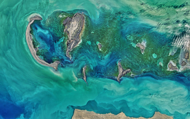
This webinar will reveal the significance of applications for advances in remote sensing and artificial intelligence in marine and coastal studies. The webinar will demonstrate programming integration with the RS and AI disciplines, including cloud computing (GEE), generative ML models, open-source libraries, and more elements. The speaker will present high-level illustrations of real-world instances from their profession. The webinar will emphasize that AI has the potential to transform the methods by which we gather, analyze, and interpret data from vast and intricate oceans. AI oceanography has shown its efficacy in addressing many maritime challenges, including monitoring marine ecosystems and environmental conditions, as well as forecasting ocean currents and meteorological patterns. Simultaneously, driven by the ongoing advancement of remote sensing technologies in recent decades, ocean observation has transitioned into the big data age. Many ocean satellites outfitted with extensive sensors have been launched to observe oceans from both large and high-resolution perspectives.
Integrating AI with remote sensing has unleashed significant potential in addressing remote sensing retrieval, feature and pattern identification, and reconstruction challenges. Aggregated data may discern the fundamental principles of concealed connection, enhancing our understanding of the oceans and facilitating more efficient conservation and management initiatives. Combining these with other ocean data, like numerical models and reanalysis, might dramatically reduce current oceanography problems. This would create a new data-driven paradigm in ocean remote sensing.
This webinar’s primary objective is to provide a scientific forum to discuss the latest AI application developments in ocean remote sensing.

