ESGRS Challenge - Sustainability Edition
About ESGRS Challenge - Sustainability Edition
The Emirati Society of GIS and Remote Sensing, in collaboration with the Mohammed bin Rashid Space Centre (MBRSC), and Ministry of Education is thrilled to invite university students passionate about GIS and Remote Sensing to join the ESGRS Challenge - Sustainability Edition.
This challenge invites students to leverage their GIS and Remote Sensing skills to tackle real-world issues and push the boundaries of what's possible. By utilizing spatial data and cutting-edge technologies, participants will create innovative solutions with the potential to meaningfully impact humanity and the environment.
Prizes
The winning team’s projects will be showcased at MBRSC booth during the Geospatial Week 2025
First Place
10,000 AED
Second Place
6,000 AED
Third Place
4,000 AED
Important dates
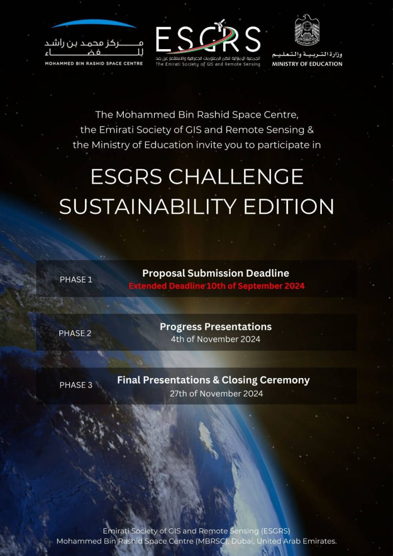
- Proposal Submission Deadline: 8th of September 2024
- Progress Presentation: 4th of November 2024
- Final Presentations & Closing Ceremony: 27th of November 2024
Challenge Main Topics
- Environmental Monitoring:
- Water Quality Monitoring Interface: A GIS-based application that utilizes satellite imagery to monitor and analyze water quality in lakes, rivers, and coastal areas, identifying pollution sources and salinity levels to aid water management strategies.
- Precision Agriculture Interface: A GIS tool that analyzes spatial data to optimize crop planting, irrigation, and fertilization, enhancing yield and reducing resource use.
- Coastal Erosion Monitoring and Management Interface: A tool that utilizes high-resolution satellite imagery to monitor coastal erosion and shoreline changes. This interface shall help in assessing the impact of sea-level rise, and human activities on coastal areas, aiding in the development of sustainable coastal management plans and protective measures.
- Disaster Management:
- Early Warning System for Natural Disasters: An interface or algorithm integrating GIS and remote sensing data to predict and provide early warnings for natural disasters such as floods, hurricanes, or earthquakes, enhancing preparedness and response.
- Post-Disaster Damage Assessment Tool: An automated process using remote sensing imagery to quickly assess damage after natural disasters where it shall automatically identify damaged buildings, roads, bridges, etc. to increase efficiently in allocating resources and planning recovery efforts.
- Risk Assessment Models: Developing a solution to study the most vulnerable spots in case of a natural disaster, such as floods, especially in the mountain areas.
- Climate Change Mitigation and Adaptation:
- Carbon Footprint Mapping Tool: A GIS application that maps and visualizes carbon emissions from various sources and helps plan mitigation strategies, such as identifying optimal locations for renewable energy installations.
- Air Quality Monitoring and Prediction Interface: An interface using remote sensing data to monitor air quality and predict pollution events, helping authorities take preventive measures.
- Climate Impact Simulation Model: A model that uses spatial data to simulate the impacts of climate change on different regions, supporting policymakers in developing adaptation strategies.
- Urban Planning and Smart City Solutions:
- Sustainable Urban Development Model: A GIS-based simulation model for planning sustainable urban growth, optimizing land use, and minimizing environmental impact.
- Urban Heat Island Effect Simulation Model: A simulation model that assesses urban heat islands using spatial data, helping city planners implement green spaces and reflective surfaces to reduce temperatures.
- Smart Waste Management System: An automated process or interface that uses spatial data to optimize waste collection routes and recycling efforts, reducing costs and environmental footprint.