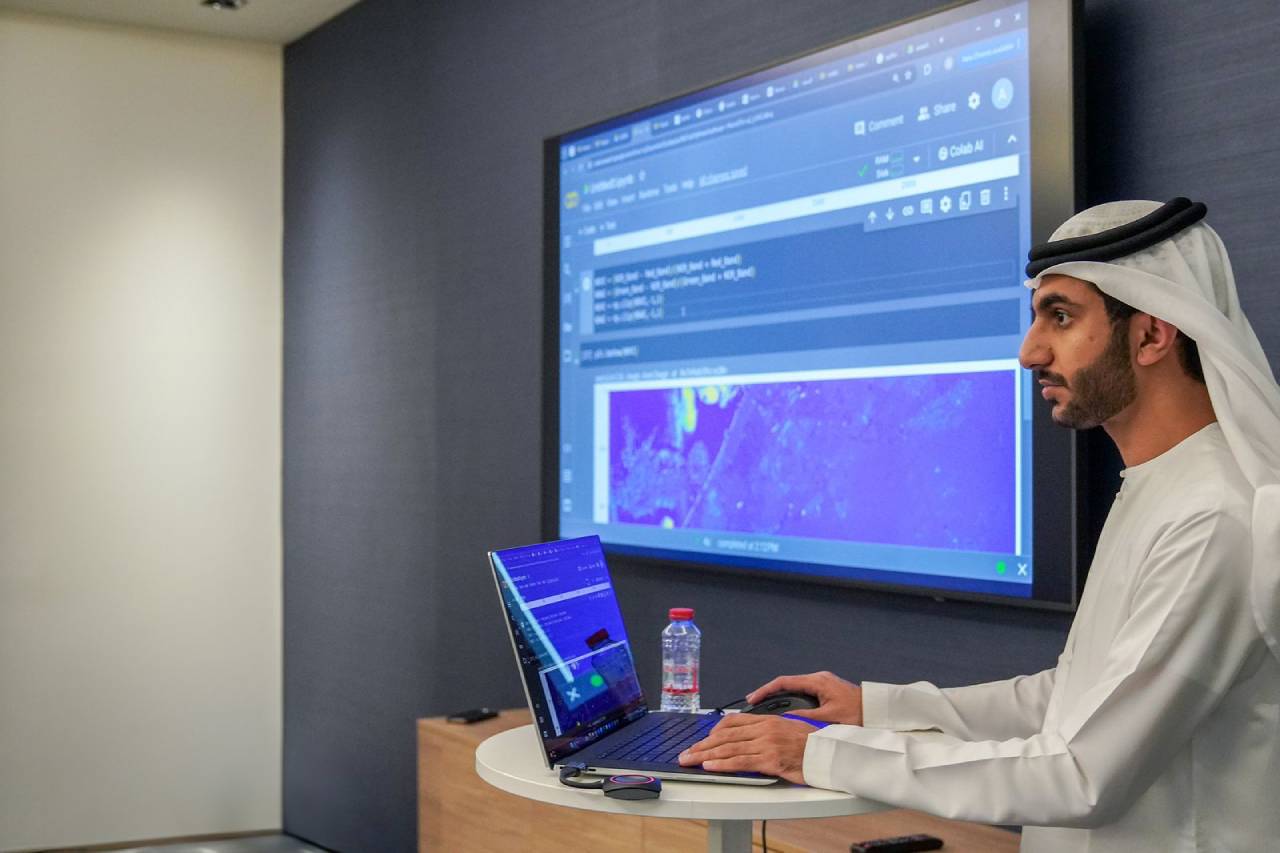
Introduction to Python for Satellite Imagery Processing Workshop
About Introduction to Python for Satellite Imagery Processing Workshop
Join us for our upcoming workshop, where you’ll step into an exciting learning experience. In this workshop, you will learn by coding yourself and getting all the support and help needed. Whether you have basic programming knowledge or a beginner eager to explore the world of Python and satellite images, this workshop promises to be an enriching experience by providing a great opportunity to learn the basics of Python, familiarize yourself with satellite image data, and develop the skills of visualizing and processing satellite images.
Highlights
- Introduction to Python: Focusing on the basics of Python programming language including the syntax, variables, data types, and simple operations.
- Importance of Python: Brief overview of the Python programming language capabilities and its importance for the job market.
- Satellite Image Processing Fundamentals: Explaining satellite images in a simplified manner such as their bands, resolutions, and common formats.
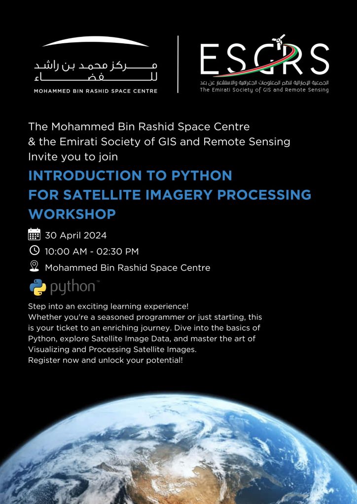
- Working with Satellite Images: Loading and visualizing satellite image data using Python libraries.
- Vegetation Health Analysis: Processing satellite images to extract the vegetation health map.
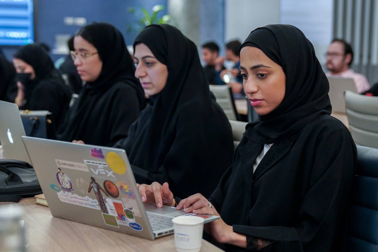
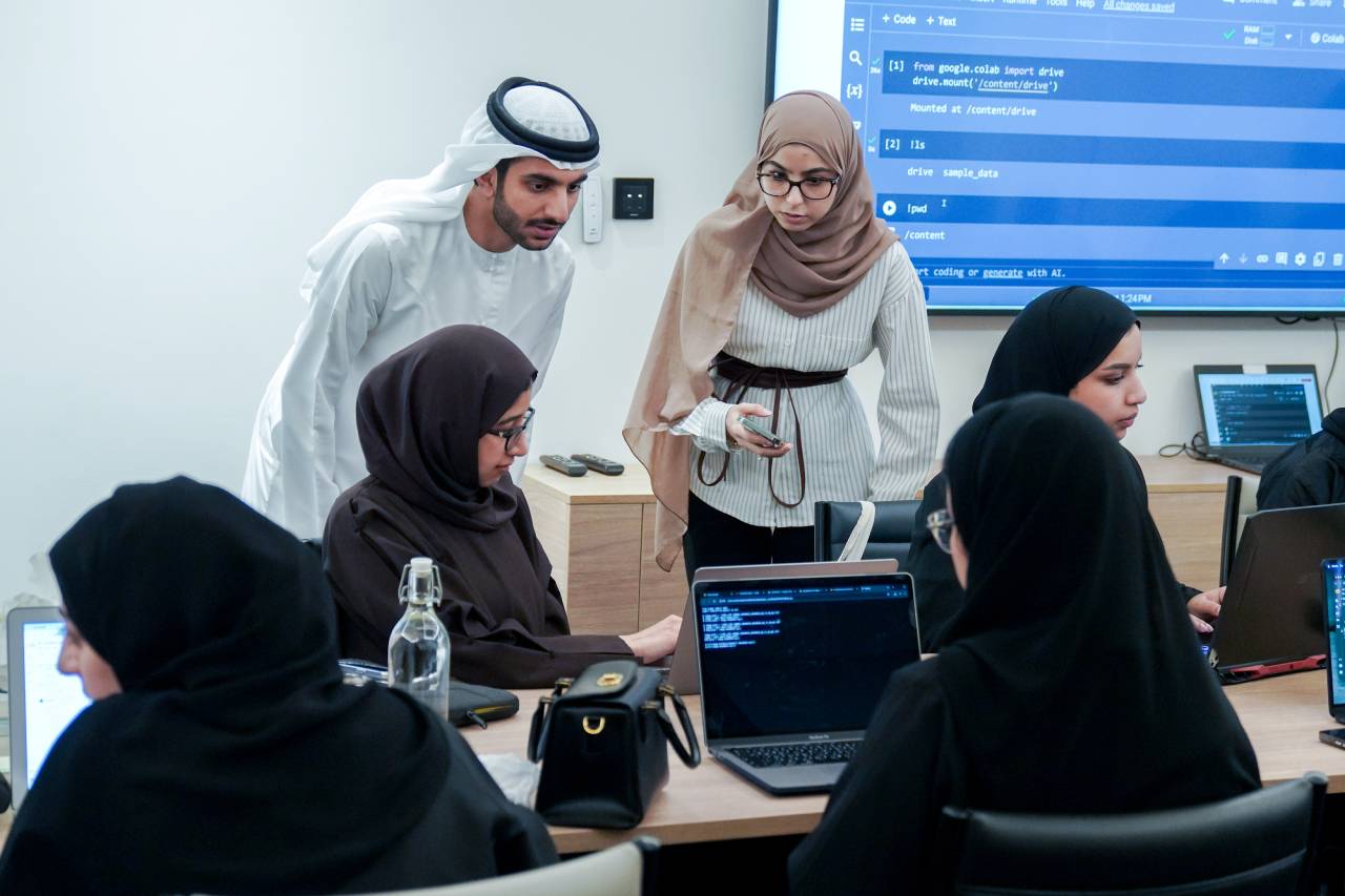
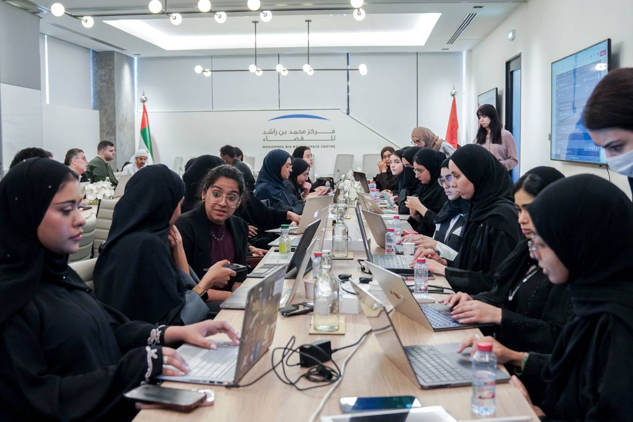
- Hands-on Learning: Facilitating an interactive learning environment by collaboratively coding with the participants and providing support as required.
- Networking: Connecting with a diverse community of technology and environmental enthusiasts who share your passion for innovation.
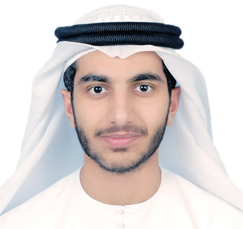
Eng. Abdalla Abdelkarim AlHammadi
Software Engineer, MBRSC LAB, University of Dubai
Eng. Abdalla AlHammadi is a dedicated software engineer at the MBRSC Lab within the University of Dubai. With a focus on remote sensing, he has contributed significantly to various projects at the MBRSC, gathering over 2 years of invaluable experience in the field. Abdalla specializes in developing sophisticated programming solutions tailored for processing and analysing data captured by MBRSC satellites, including DMSat-1, KhalifaSat, and MBZSat. His expertise covers a wide range of tasks, from processing raw satellite data and conducting radiometric and geometric calibrations to automating routine operations and employing advanced AI and deep learning techniques for data analysis and interpretation. Abdalla holds a bachelor’s degree in electrical engineering from the American University of Sharjah and is currently pursuing his master's degree in the same field at the same institution.

