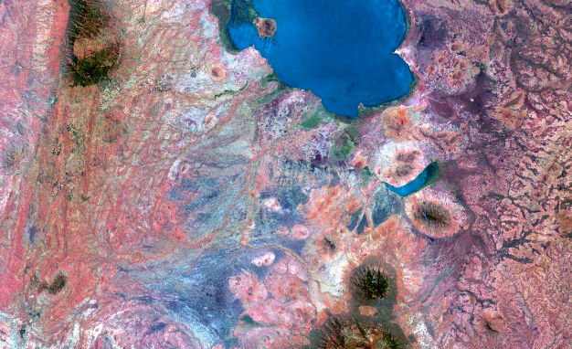

Leveraging AI and Remote Sensing (Optical, Radar, LiDAR, and UAV) to Address Environmental and Ecosystem Challenges
This webinar will present a decade of pioneering research from Salehi-Geolab, culminating in over 70 journal publications and nearly 100 presentations at esteemed international conferences. The focus of the webinar is to explore the integration of machine learning and computer vision techniques with remote sensing data, aiming to enhance our understanding of ecosystem dynamics influenced by human activity and climate change across urban, state, and national scales.
We will showcase our advancements in monitoring key ecosystems such as wetlands, forests, inland waters, and urban forestry, utilizing cutting-edge machine learning methodologies and big data analytics. Key highlights will include our national wetland classification initiative in Canada, utilizing SAR and multispectral imagery, alongside forest height and aboveground biomass estimation for the northeastern United States through space-borne LiDAR, SAR, and optical data, integrated with deep learning models. Additionally, we will present our innovative work in water quality monitoring, leveraging data from UAVs, field sensors, and satellites. The webinar will also feature our deep learning framework for the automatic 3D modeling of individual trees in urban and forest environments, which includes the detection and parameter estimation (e.g., volume, crown area, height, and biomass) using UAV LiDAR and photogrammetry.
Through this session, we aim to provide insights into the transformative potential of advanced remote sensing technologies and machine learning in environmental monitoring and management.

