
Semantic Segmentation of Roads in Satellite Imagery
May 4, 2021 @ 10:00 am - 11:00 am +04
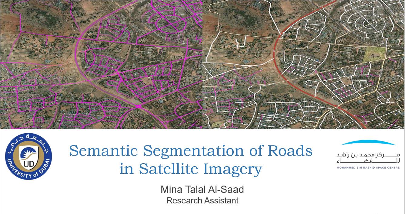
Remote sensing is a field that is constantly growing due to its importance in applications related to urban planning, risk assessment, resource exploration, and disaster management. Some of the most highly researched topics in the area of remote sensing include Land Cover Land Use (LCLU), object detection, scene classification, and semantic segmentation. Nowadays, researchers are looking into automating these tasks, as performing them manually is time and cost inefficient. Therefore, Deep Learning (DL) algorithms have been utilized for remote sensing and image processing tasks in the recent years. Many studies proved efficiency of DL algorithms, however, several challenges remain unsolved. In particular, semantic segmentation is one of the challenging tasks that is under heavy demand in the field of remote sensing. For this research study, semantic segmentation is applied to extract roads from satellite images. Road mapping is an essential first step in several applications that include transportation, traffic management, and city planning. Extracting roads efficiently and accurately will in turn boost the overall outcome of the aforementioned applications. U-Net is the state-of-the-art Convolutional Neural Networks (CNN) that perform semantic segmentation. This network will be trained using publically available Massachusetts dataset. The accuracy and loss of all experiments will be reported and sample results from the dataset will be demonstrated.


