
AI-City Quest Hackathon
Join us for an exhilarating one-day hackathon where teams of 2-3 university students will dive deep into the realms of AI and Blockchain to unlock the secrets of smart city development.

Join us for an exhilarating one-day hackathon where teams of 2-3 university students will dive deep into the realms of AI and Blockchain to unlock the secrets of smart city development.
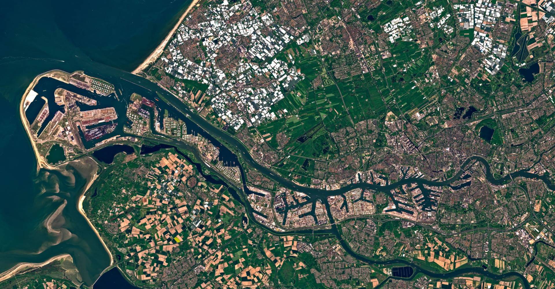
Join us for our upcoming workshop, where you’ll step into an exciting learning experience. In this workshop, you will learn by coding yourself and getting all the support and help needed.
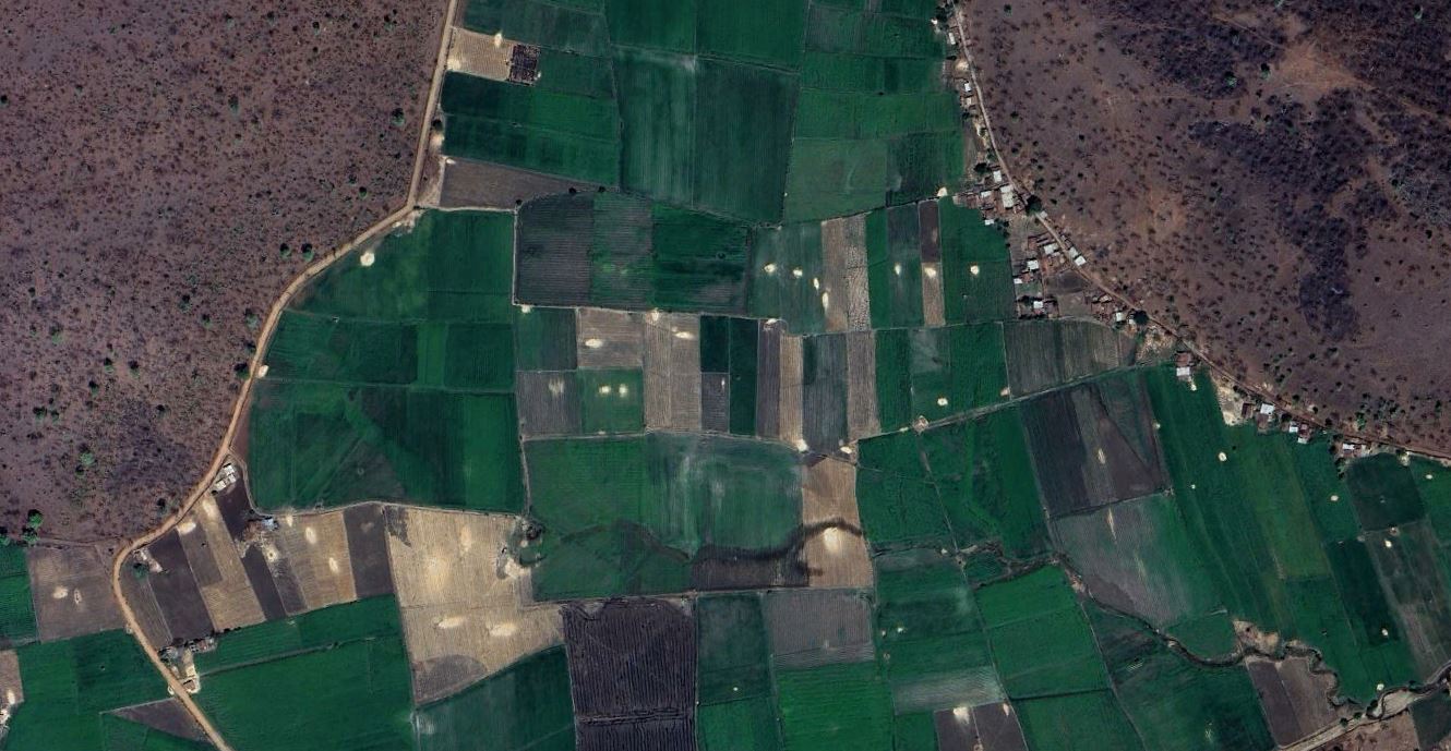
Join us for a comprehensive webinar on leveraging remote sensing technologies to enhance crop health monitoring and management in precision agriculture
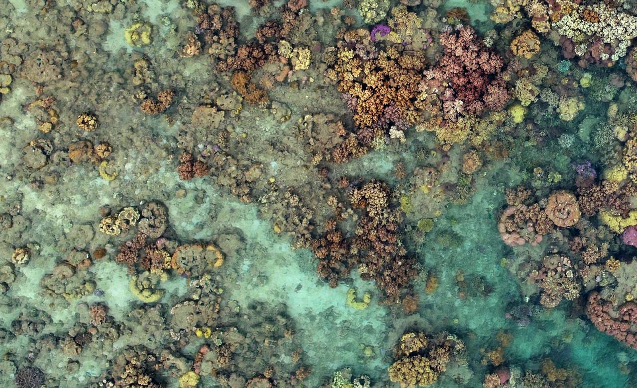
Small Island Developing States (SIDS) face significant challenges from natural disasters, climate change, and limited resources, particularly the degradation of coral reefs due to rising sea temperatures.
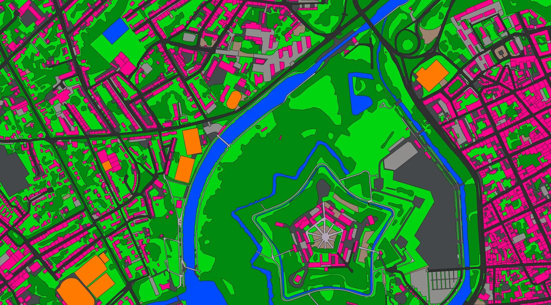
Join and unlock the power of Python for GIS & Remote Sensing Analytics! You'll master techniques like analysing raster data, extracting terrain data from DEMs, reducing noise from satellite imagery,
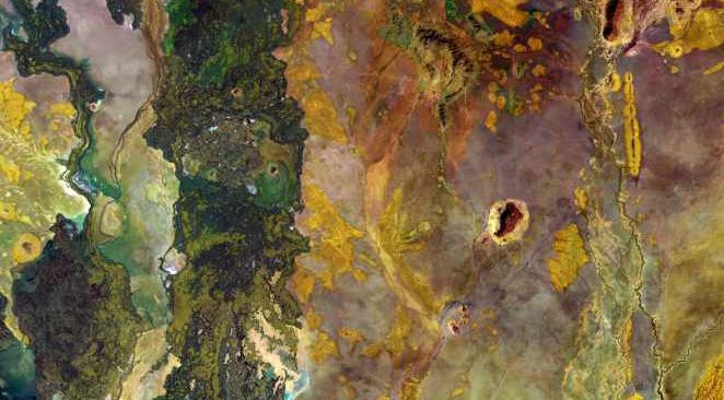
Small Island Developing States (SIDS) face significant challenges from natural disasters, climate change, and limited resources, particularly the degradation of coral reefs due to rising sea temperatures.
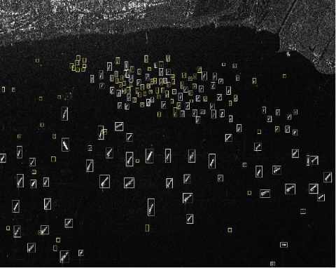
Dive into the world of advanced technology as we explore Python libraries and tools for annotating, visualizing, and training models for ship detection.
The Emirati Society of GIS and Remote Sensing, in collaboration with the Mohammed bin Rashid Space Centre (MBRSC), and Ministry of Education is thrilled to invite university students passionate about GIS and Remote Sensing to join the ESGRS Challenge - Sustainability Edition.
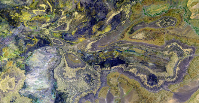
Soil moisture is a critical parameter influencing various environmental processes, agricultural productivity, and hydrological modeling. Traditional methods of soil moisture measurement
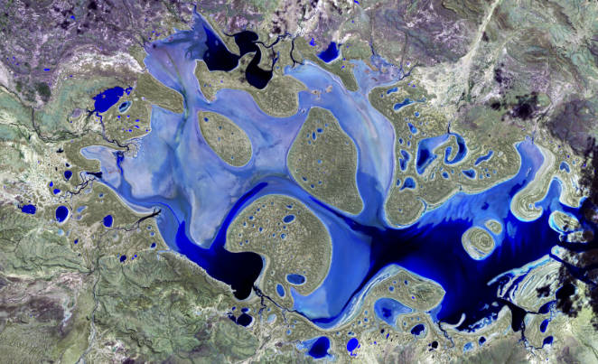
Floods are frequent natural hazards that produce an unusual water overflow that submerges a large area, affecting the frontline communities, their livelihood, environmental vulnerability, and increasing social and economic consequences.
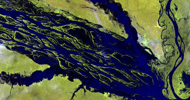
Global Navigation Satellite System has emerged as more beneficial in monitoring the Earth's atmosphere for natural hazards and space weather events around the globe with high-resolution datasets
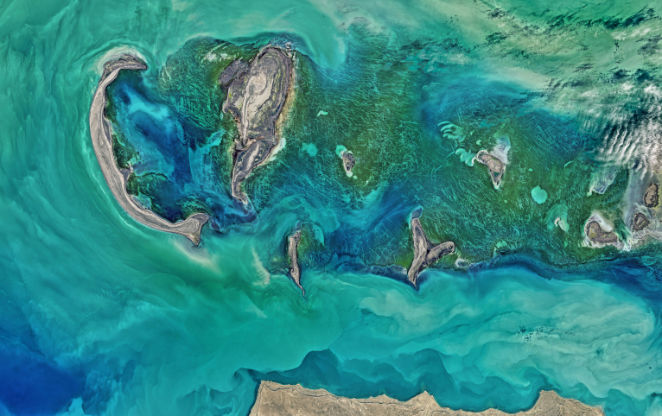
This webinar will reveal the significance of applications for advances in remote sensing and artificial intelligence in marine and coastal studies. The webinar will demonstrate programming integration with the RS and AI disciplines