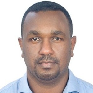
ENG. MOHAMED BARAKAT
RESEARCHER AND GIS LAB ENGINEER - UNIVERSITY OF SHARJAH
- Group:Deep Learning Techniques for Large-Scale Date Palm Tree Mapping from Multiscale Remotely Sensed Data
ENG. MOHAMED BARAKAT
RESEARCHER AND GIS LAB ENGINEER - UNIVERSITY OF SHARJAH
Mohamed Barakat obtained his bachelor’s in Surveying Engineering from the Sudan University of Sciences and Technology in 2010 and later completed his master’s in Remote Sensing and GIS from University Putra Malaysia (UPM) in 2015. Mohamed serves as an RS and GIS Lab Engineer at the University of Sharjah’s Research Institute of Sciences and Engineering. Additionally, he is working towards his Ph.D. in Remote Sensing from the Faculty of Engineering at UPM, Malaysia. His research interests focus on harnessing the power of remote sensing technologies and state-of-the-art ML techniques in various Earth-related applications (i.e., vegetation and urban mapping, environmental monitoring, and other applications). Mohamed has published more than 25 peer-reviewed articles in the domains of remote sensing and GIS.
